Central and Northeast Wisconsin
Paddle Trail Maps for West Central to Northeast Wisconsin
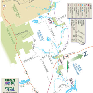
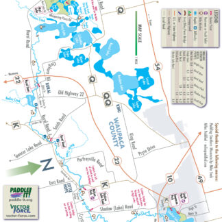
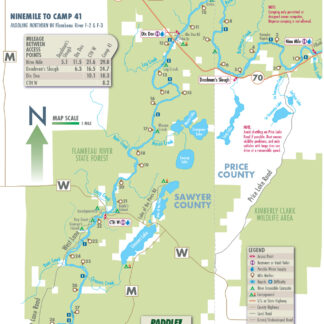
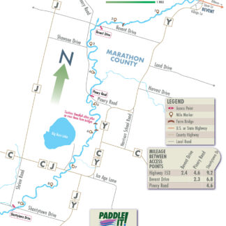
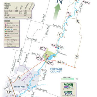
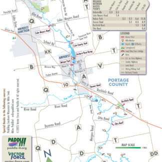
Maps are added as they are completed. These maps cover commonly paddled river and creek sections with no more than Class I+ whitewater. Occasionally, easily portaged Class II or higher ledges, dam remnants, or brief rapids can be found on these sections. Helmets, spray skirts, flotation, and/or thigh straps are not typically required.
Paddle It! Members can access the page to download Black & White raster PDFs of these maps directly. If you purchase a set of 10 or more maps at Vector Force, email us to get a coupon code for a free 6 month membership.
Showing all 31 results
-
Black River – 22-1
Read more -
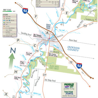
Black River – 22-3
Read more -
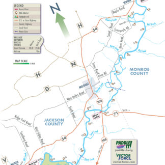
Black River – 22-4
Read more -
Black River – 22-5
Read more -
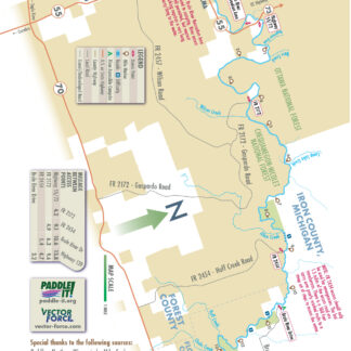
Brule River – 28-1
Read more -
Brule River – 28-3
Read more -
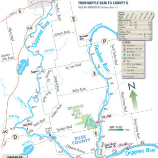
Chippewa River – 34-3
Read more -
Crystal River – 44-1
Read more -

Eau Claire River – 53-1
Read more -
Flambeau River – 66-2
Read more -
Flambeau River (North Fork) – 67-2
Read more -
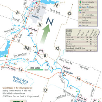
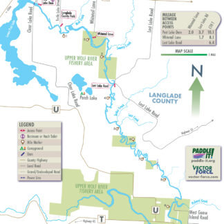
Little Wolf River – 130-2
Read more -
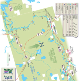
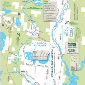
Manitowish River – 132-1
Read more -
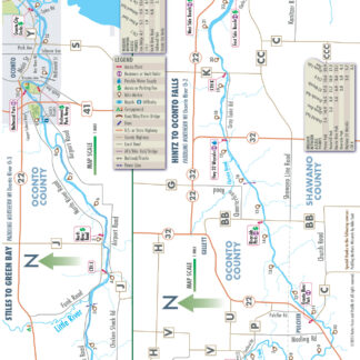
Oconto River – 163-1
Read more -
Oconto River – 163-2
Read more -
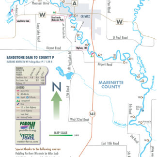
Peshtigo River – 176-05
Read more -
Peshtigo River – 176-6
Read more -
Peshtigo River – 176-7
Read more -
Plover River – 190-1
Read more -
Plover River – 190-2
Read more -
Tomorrow River – 236-1
Read more -
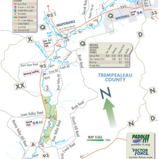
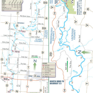
Trempealeau River – 241-1
Read more -
Trempealeau River – 241-2
Read more -
Trempealeau River – 241-3
Read more -
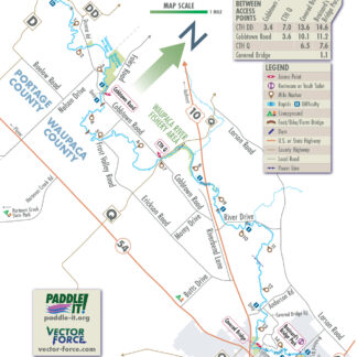
Waupaca River – 248-1
Read more -
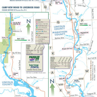
Wisconsin River – 257-0
Read more -
Wisconsin River – 257-01
Read more -
Wisconsin River – 257-02
Read more -
Wisconsin River – 257-04
Read more -
Wisconsin River – 257-05
Read more -
Wolf River – 259-1
Read more
Showing all 31 results