Northwest Wisconsin
Paddle Trail Maps for Northwest Wisconsin
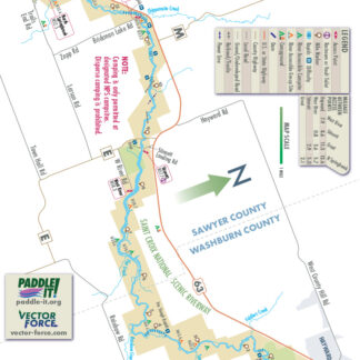
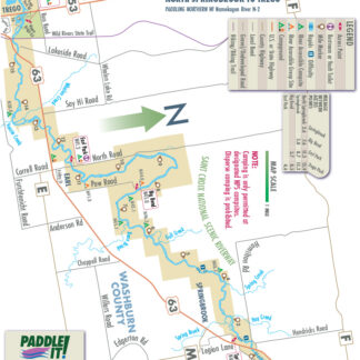
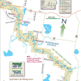
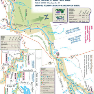
Maps are added as they are completed. These maps cover commonly paddled river and creek sections with no more than Class I+ whitewater. Occasionally, easily portaged Class II or higher ledges, dam remnants, or brief rapids can be found on these sections. Helmets, spray skirts, flotation, and/or thigh straps are not typically required.
Paddle It! Members can access the page to download Black & White raster PDFs of these maps directly. If you purchase a set of 10 or more maps at Vector Force, email us to get a coupon code for a free 6 month membership.
Showing all 28 results
-
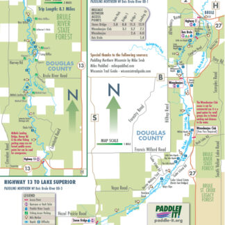
Bois Brule River – 25-1
Read more -
Bois Brule River – 25-3
Read more -
Chippewa River – 34-1
Read more -
Chippewa River – 34-2
Read more -
Chippewa River – 34-4
Read more -
Chippewa River – 34-5
Read more -
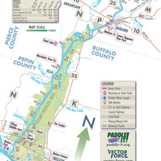
Chippewa River – 34-6
Read more -

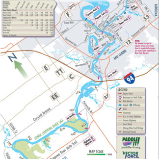
Eau Claire River – 51-1
Read more -
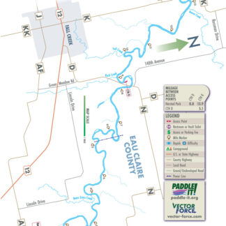
Eau Claire River – 51-2
Read more -
Eau Claire River – 51-3
Read more -
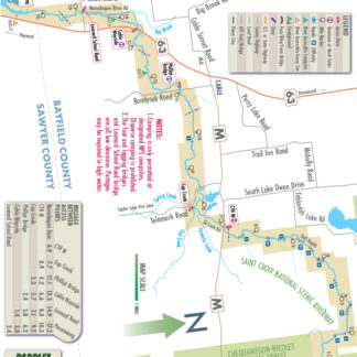
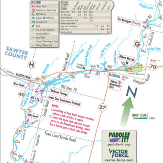
Namekagon River – 158-1
Read more -
Namekagon River – 158-3
Read more -
Namekagon River – 158-4
Read more -
Namekagon River – 158-5
Read more -
Namekagon River – 158-6
Read more -
Totagatic River – 238-1
Read more -
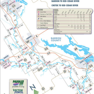
Chetek River – 32-1
Read more -
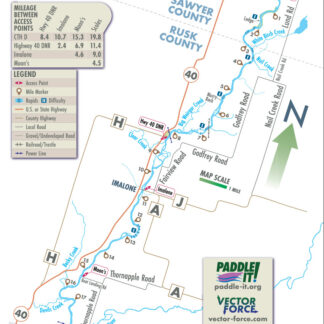
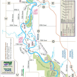
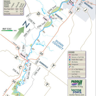
Red Cedar River – 201-1
Read more -
Yellow River – 264-1
Read more -
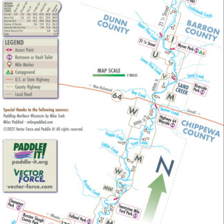
Red Cedar River – 201-2
Read more -
Red Cedar River – 201-3
Read more -
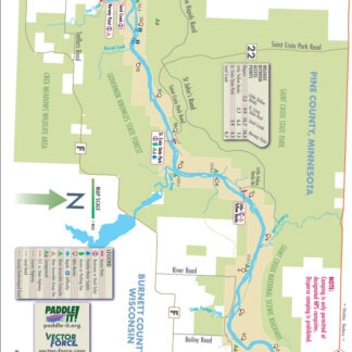
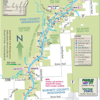
St. Croix River – 225-1
Read more -
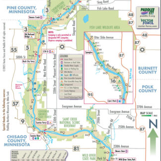
St. Croix River – 225-2
Read more -
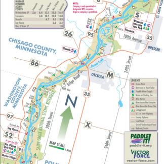
St. Croix River – 225-3
Read more -
St. Croix River – 225-4
Read more -
St. Croix River – 225-5
Read more -
St. Croix River – 225-6
Read more -
Willow River – 255-1
Read more
Showing all 28 results